This
Afternoon

High: 79 °F
Showers
Likely
|
NWS forecast: A chance of showers before 2pm, then showers likely and possibly a thunderstorm between 2pm and 4pm, then a chance of showers and thunderstorms after 4pm. Mostly cloudy, with a high near 79. South wind around 15 mph, with gusts as high as 36 mph. Chance of precipitation is 70%. New rainfall amounts between a tenth and quarter of an inch, except higher amounts possible in thunderstorms.
Davis VP+ forecast: --- |
| |
Tonight

Low: 61 °F
Chance
Showers then
Mostly Clear
|
NWS forecast: A chance of showers and thunderstorms, mainly before 7pm. Partly cloudy, with a low around 61. West wind 7 to 9 mph. Chance of precipitation is 30%. New precipitation amounts of less than a tenth of an inch, except higher amounts possible in thunderstorms. |
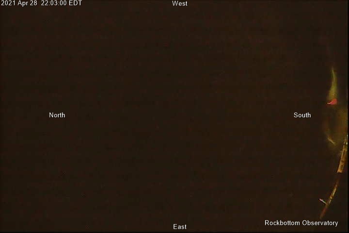
| Sky Cam |
|
|
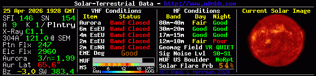
| Current Solar, Terrestrial, and Lunar Conditions |
|
|
| Clear Sky Clock |
|
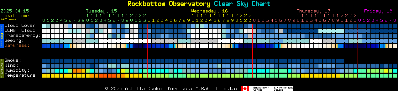
Clear Sky Clock courtesy of: Attilla Danko
Data is provided by the CMC
|
| Click on Map Pin and get Directions to the Observatory |
|


